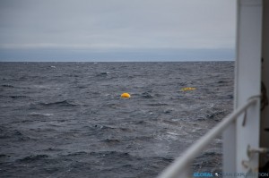
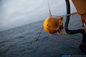
 The BS3 Mooring coming down the Port side of the ship after being released from its anchor.
.
After continuing our sampling through the night, it was time to recover the BS3 mooring in the waters northeast of Barrow. This mooring was deployed on last year’s cruise and has been taking measurements of the water column for the past year creating an incredible data set that is key to understanding the Arctic shelf ecosystem. The instruments on the mooring have been collecting various measurements including temperature, salinity, nitrate, pCO2, and pH.
Everyone is anxious to get back to the lab to look at the data collected from these instruments and create a picture of what the water column looked like for the past year, from the open water of the fall through the ice-covered winter through the spring and summer melt until now. The changing ocean conditions affect the measurements tremendously as do currents and upwellings that occur seasonally in this area. By understanding these variables, the scientists can better understand what will happen when there is less ice in the future due to the warming climate.
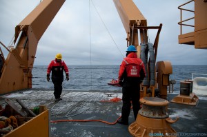
Preparing the snowy deck for the recovery of the mooring
The small boat hooks a line from the boat onto the buoy
The first part of the mooring coming on board. The pCO2 sensor in on the chain behind
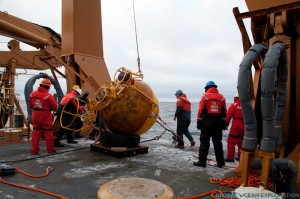
Successful recovery of the mooring!
Dr. Jeremy Mathis with his pCO2 sensor from the mooring…excited to see the data!
The mooring will be re-deployed in the coming days to collect data for the next year.


